Beneath the Waves | Raranga Whāriki Papa Moana
Mitigating hazards from Whakaari and Tūhua island volcanoes
In Focus
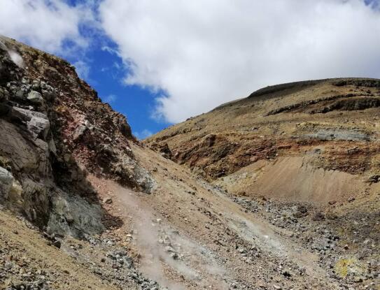


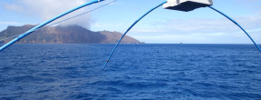
Two active island volcanoes lie off the Bay of Plenty coast: Tūhua/Mayor Island and Whakaari/White Island.
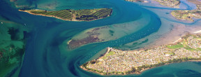
Yet, risks from these near-shore islands are missing from hazard forecasting and emergency management plans.
To reduce vulnerability in our communities and to near sea-level infrastructure, our research is investigating the potential hazards – above and below the water.
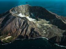
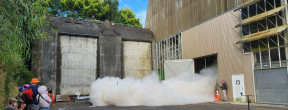
We are mapping the physical anatomy of each island volcano and providing the first robust scientific data and scenarios for island volcano ashfall and tsunami risk.
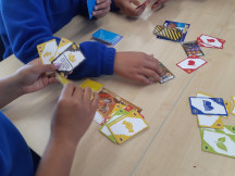
By partnering with communities, educators, hazard managers and industry we can to package the new information in the best way to increase awareness and usefulness.