Explore
We are exploring two near-shore islands to build 3D volcano anatomy models and to determine the frequency and magnitude of volcano hazards.
We are mapping the anatomy and plumbing of Whakaari/White Island and Tūhua/Mayor Island, but the large underwater component makes these tasks highly challenging. To achieve our goal, we are undertaking sea-going research cruises, and on-land and airborne geophysical surveys. A combination of geological geophysical and geochemical methods are being used to locate magma reservoirs, hydrothermal systems, geological faults, zones of weak and strong rock, and to gather evidence of past volcanic and non-volcanic events.
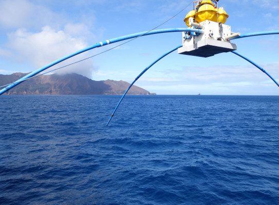
On our research cruises will use autonomous underwater vehicles (AUV) to map the underwater and subsurface structure of the motu. We will deploy seafloor MT stations around Whakaari and Tuhua to map magmatic and hydrothermal fluids beneath the islands.. We will also use remotely operated vehicles (ROV) to sample rock and vent fluids, and measure heat flow. Piston coring will collect sediment cores that contain records of past volcanic hazard events, including ashfall, pyroclastic flow and flank collapse.
All of these data will be combined to create a 3D model of each volcano from seabed to summit. We can analyse the structure and history of each island and determine the style and timing of past eruptions, the chemistry of the magmas, and the nature of ash dispersal.