Successful deployment of marine magnetotelluric systems
In mid-November 2022, the first marine magnetotelluric (MT) surveys began.
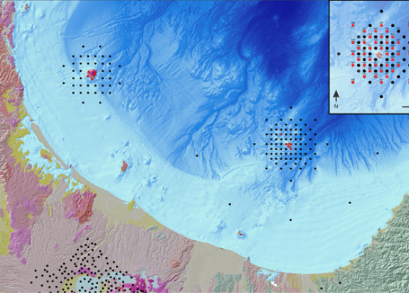
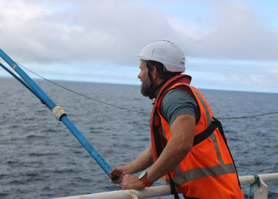
The team, comprising five staff from Scripps Institution of Oceanography (SIO) and five staff from GNS Science, successfully deployed 40 ocean-bottom electromagnetic (OBEM) on the seafloor from the RV Tangaroa, in an array around Whakaari. They experienced smooth deployments in calm weather without any significant equipment faults.
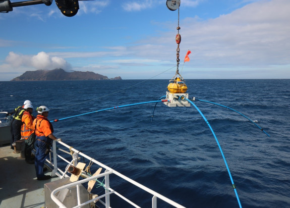
These marine-MT systems will now sit on the sea-floor and record variations in natural magnetic and electric fields, which are the data we use to estimate and model the subsurface resistivity structure.

Since rocks that contain high-temperature fluids and/or partial melt are orders of magnitude less-resistive (or more conductive) than ‘normal’ rocks, MT is very sensitive to fluids and melt – in this way we can image the magmatic ‘plumbing’ system beneath the island. This will contribute to improved understanding of the volcano’s anatomy, and improve our ability to understand monitoring signals during periods of unrest.
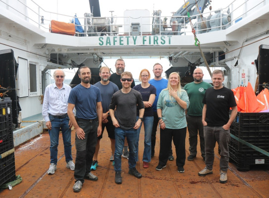
Hero image: Marine MT field team, from left: Steven Constable, Neville Palmer, Ted Bertrand, Chris Armerding, Rory Hart, Wiebke Heise, Peter Kannberg, Roz King, Jake Perez, Craig Miller. (Photo: Ted Bertrand)